PREVIOUS
✖
Comprehensive Standards for Navigation
October 30 , 2025
2 days
48
0
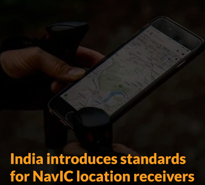
- The government introduced comprehensive standards for Navigation with Indian Constellation (NavIC) receivers.
- NavIC, developed by the ISRO, is India’s indigenous satellite navigation system, ensuring regional accuracy.
- The Bureau of Indian Standards (BIS) issued guidelines for signal quality, positioning accuracy, and timing precision in NavIC-enabled devices.
- NavIC provides Standard Positioning Service (SPS) signals in L1, L5, and S bands, ensuring 1.5-metre accuracy and 50-nanosecond timing precision.
- NavIC will provide two levels of service, the "standard positioning service", which will be open for civilian use, and a "restricted service" (an encrypted one) for authorised users (including the military).
- By standardising NavIC technology, India joins global powers like the United States (GPS), the European Union (Galileo), Russia (GLONASS), and China (BeiDou) in operating its own satellite navigation system.
- Unlike GPS, which is controlled by the US Department of Defense, NavIC is managed by civilian authorities in India.

Leave a Reply
Your Comment is awaiting moderation.