PREVIOUS
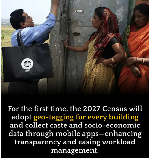
Geotagging in Census 2026
September 15 , 2025
16 hrs 0 min
14
0
- Geotagging will be conducted during the House listing Operations (HLO), the first phase of the Census, scheduled for April-September 2026.
- Enumerators will use smartphones to mark the exact latitude and longitude coordinates of each building on a Geographic Information System (GIS) map.
- Each building will be assigned a unique geotag, providing precise locational identity on digital maps.
- Buildings will be classified as residential, non-residential, partly residential, or landmark, with data on Census houses and households collected.
- This is the first time geotagging is being used nationwide in the Census; earlier exercises relied on hand-drawn sketches for house listing.
- The last Census (2011) recorded 330.84 million houses, of which 306.16 million were occupied.

Leave a Reply
Your Comment is awaiting moderation.


