

PREVIOUS
✖
India’s First Soil Texture Map
August 29 , 2026
16 hrs 0 min
4
0
- The National Bureau of Soil Survey and Land Use Planning (NBSS&LUP) has developed India’s first soil texture map.
- It provides digitised soil classification data at the hectare level across the country.
- It helps farmers identify best crops for specific plots, supports region‑specific policies, crop planning, land‑use strategies.
- Soil texture is determined by the proportion of sand, silt, and clay in soil.
- India’s first soil depth map was developed and released one year before the soil texture map.
- The soil depth map was also released by NBSS&LUP.
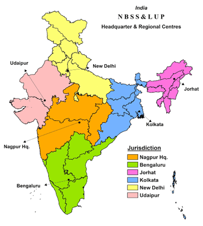
- NBSS&LUP is a national institute under ICAR and is based in Nagpur, Maharashtra.

Leave a Reply
Your Comment is awaiting moderation.