PREVIOUS
✖
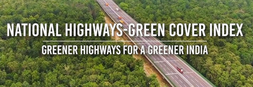
NHAI Green Cover Index 2025–26
March 29 , 2026
15 hrs 0 min
10
0
- NHAI released the first National Highways Green Cover Index (NH-GCI) 2025–26 in collaboration with ISRO’s NRSC(National Remote Sensing Centre).
- The index measures the percentage of green canopy along National Highway stretches using satellite data.
- It uses high-resolution multispectral imagery from ISRO’s Resourcesat-2/2A (LISS-IV) and Cartosat-2S for validation.
- The assessment covers around 30,000 km of highways across 24 states under the operation and maintenance phase.
- Data is published on the Bhuvan GIS platform for transparency and public access.

Leave a Reply
Your Comment is awaiting moderation.