

PREVIOUS
✖
Punah Bharan Mobile Application
November 6 , 2026
15 hrs 0 min
51
0
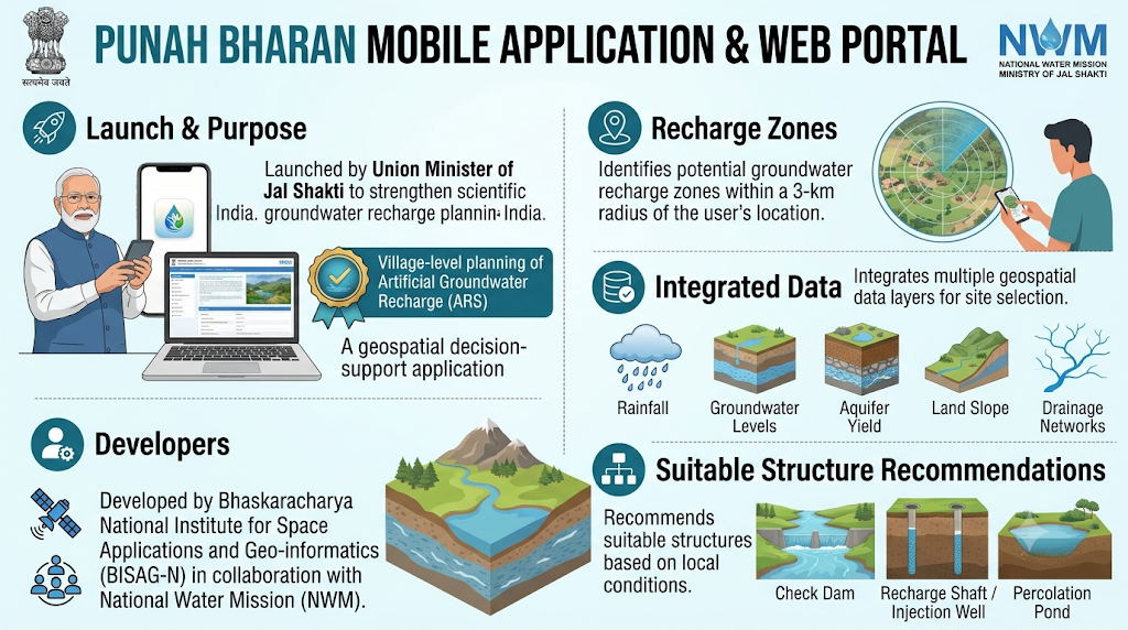
- The Union Minister of Jal Shakti launched the Punah Bharan Mobile Application and its companion web portal to strengthen scientific groundwater recharge planning across India.
- It is a geospatial decision-support application designed for village-level planning of artificial groundwater recharge (ARS).
- It was developed by the Bhaskaracharya National Institute for Space Applications and Geo-informatics (BISAG-N) in collaboration with the National Water Mission (NWM).
- It identifies potential groundwater recharge zones within a 3-km radius of the user's location.
- It recommends suitable structures such as check dams, recharge shafts, percolation ponds and injection wells based on local conditions.
- It integrates rainfall, groundwater levels, aquifer yield, land slope and drainage networks for site selection.

Leave a Reply
Your Comment is awaiting moderation.