

PREVIOUS
✖
UN Adopts Africa-Accurate Map
September 7 , 2026
15 hrs 0 min
25
0
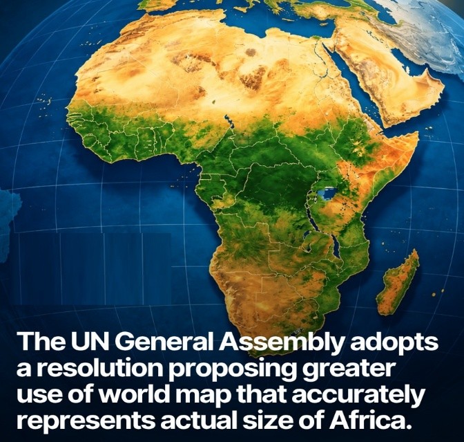
- The United Nations General Assembly (UNGA) adopted the “Correct the Map” resolution to promote world maps that represent Africa’s size more accurately.
- The resolution was supported by 164 countries, while the United States voted against it and six countries abstained.
- It promotes the Equal Earth projection, which shows the relative sizes of continents more accurately than the Mercator projection.
- The Mercator projection, created in 1569, makes regions near the poles appear larger and Africa appear smaller; Africa is actually about 14 times larger than Greenland.
- The resolution is non-binding, but it is expected to encourage international institutions to use more accurate world maps.

Leave a Reply
Your Comment is awaiting moderation.