PREVIOUS
✖
First Radar Images of Earth
October 3 , 2025
13 hrs 0 min
8
0
- NASA and ISRO's joint NISAR satellite was launched from Sriharikota, India.
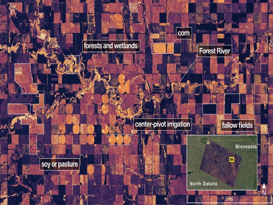
- First radar images captured in August show Maine’s Mount Desert Island and farmland in North Dakota.
- NASA’s L-band radar detected forests, buildings, and crop fields; ISRO’s S-band radar will observe vegetation.
- The satellite reached its 464-mile orbit in September and will begin full science operations in November 2025.

Leave a Reply
Your Comment is awaiting moderation.